


Space Force delivers critical data during disasters
SCHRIEVER SPACE FORCE BASE, Colo. -- Through the Global Positioning System and weather data, the U.S. Space Force 2nd and 6th Space Operations Squadrons provide critical and life-saving information to people and agencies all over the world from Schriever Space Force Base, Colorado, and 2nd SOPS’ 17 other geographically-separated units.
Share Article
Article Tags
U. S. Space Force Space Systems Command, United Launch Alliance successfully launch USSF-106 mission aboard Vulcan rocket
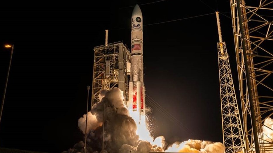
USSF and ULA launch Vulcan Centaur on its first NSSL mission, delivering the NTS-3 satellite to geosynchronous orbit for advanced navigation research.
Read more about U. S. Space Force Space Systems Command, United Launch Alliance successfully launch USSF-106 mission aboard Vulcan rocketDAF joins with Disney, Pixar to bring military family story to life in ‘Elio’

The Department of the Air Force joined Disney·Pixar to help bring Elio to life, showcasing the challenges and resilience of military kids while ensuring authentic Space Force representation in the animated film.
Read more about DAF joins with Disney, Pixar to bring military family story to life in ‘Elio’X-37B Orbital Test Vehicle concludes seventh successful mission
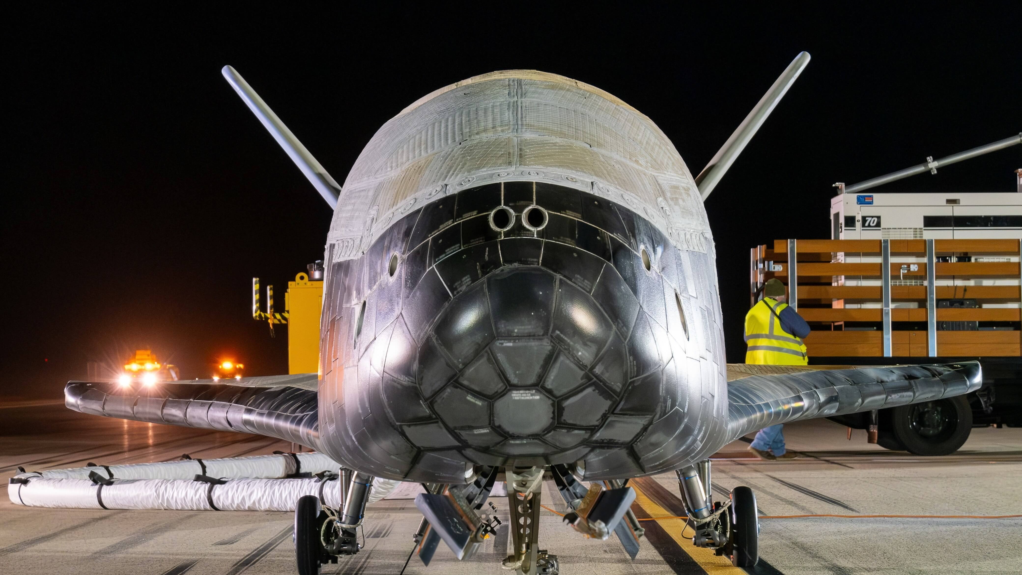
The X-37B Orbital Test Vehicle successfully concluded its seventh mission, landing at Vandenberg Space Force Base in California on March 7, 2025, after a 434-day mission in space.
Read more about X-37B Orbital Test Vehicle concludes seventh successful missionX-37B begins novel space maneuver

The U.S. military's X-37B space plane is about to begin a series of novel maneuvers, according to a rare official update on the spacecraft
Read more about X-37B begins novel space maneuverDepartment of the Air Force launches NIPRGPT

The United States Department of the Air Force, in partnership with Air Force Research Laboratory, has launched NIPRGPT
Read more about Department of the Air Force launches NIPRGPT98th Space Range Squadron takes warfighter readiness to next level
For decades, Air Force test and training ranges, like the Nevada Test and Training Range and the Utah Test and Training Range, have provided aircrews with flexible, realistic, multidimensional battle spaces to conduct testing and advanced training.
Read more about 98th Space Range Squadron takes warfighter readiness to next levelSpace Test Course integrates satellite operations into curriculum for first time
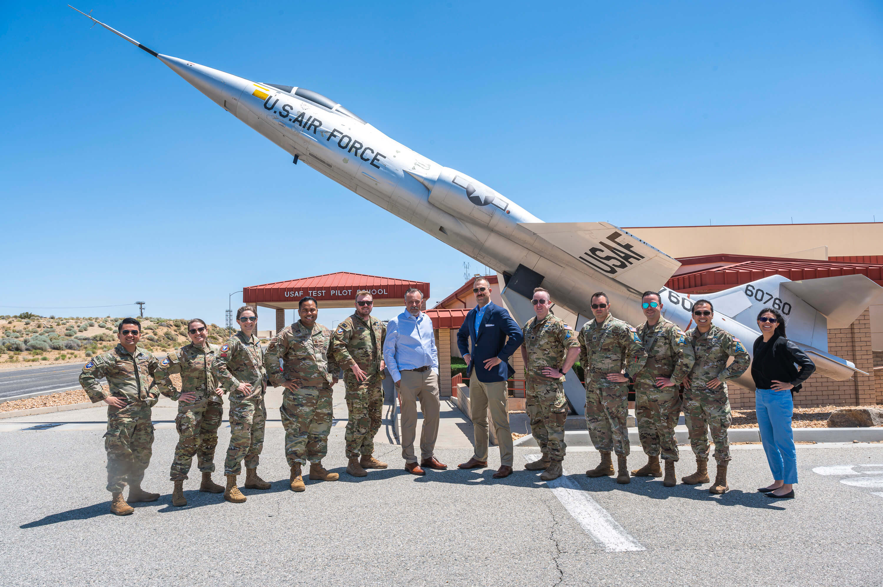
In a historic first, students from the Space Test Course at the U.S. Air Force Test Pilot School successfully operated a satellite in space from Edwards Air Force Base, May 20.
Read more about Space Test Course integrates satellite operations into curriculum for first timeDAF announces updates to DAFI 36-2606, gives Airmen, Guardians flexibility in career
The Department of the Air Force announced updates to Department of the Air Force Instruction 36-2606, Reenlistment and Extension of Enlistment, May 23.
Read more about DAF announces updates to DAFI 36-2606, gives Airmen, Guardians flexibility in careerCSO hosts patch presentation ceremony
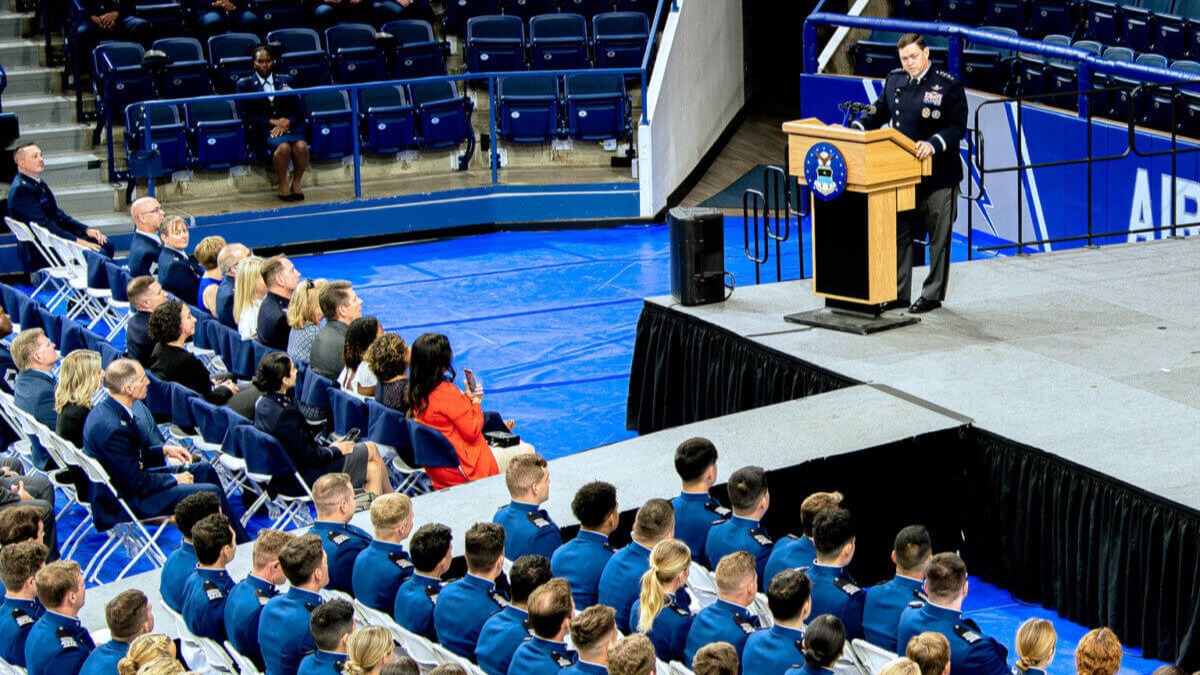
Ninety-two U.S. Air Force Academy cadets were presented their U.S. Space Force patches during a ceremony held at Clune Arena May 29.
Read more about CSO hosts patch presentation ceremonyMinuteman III test launch showcases readiness of US nuclear force's safe, effective deterrent
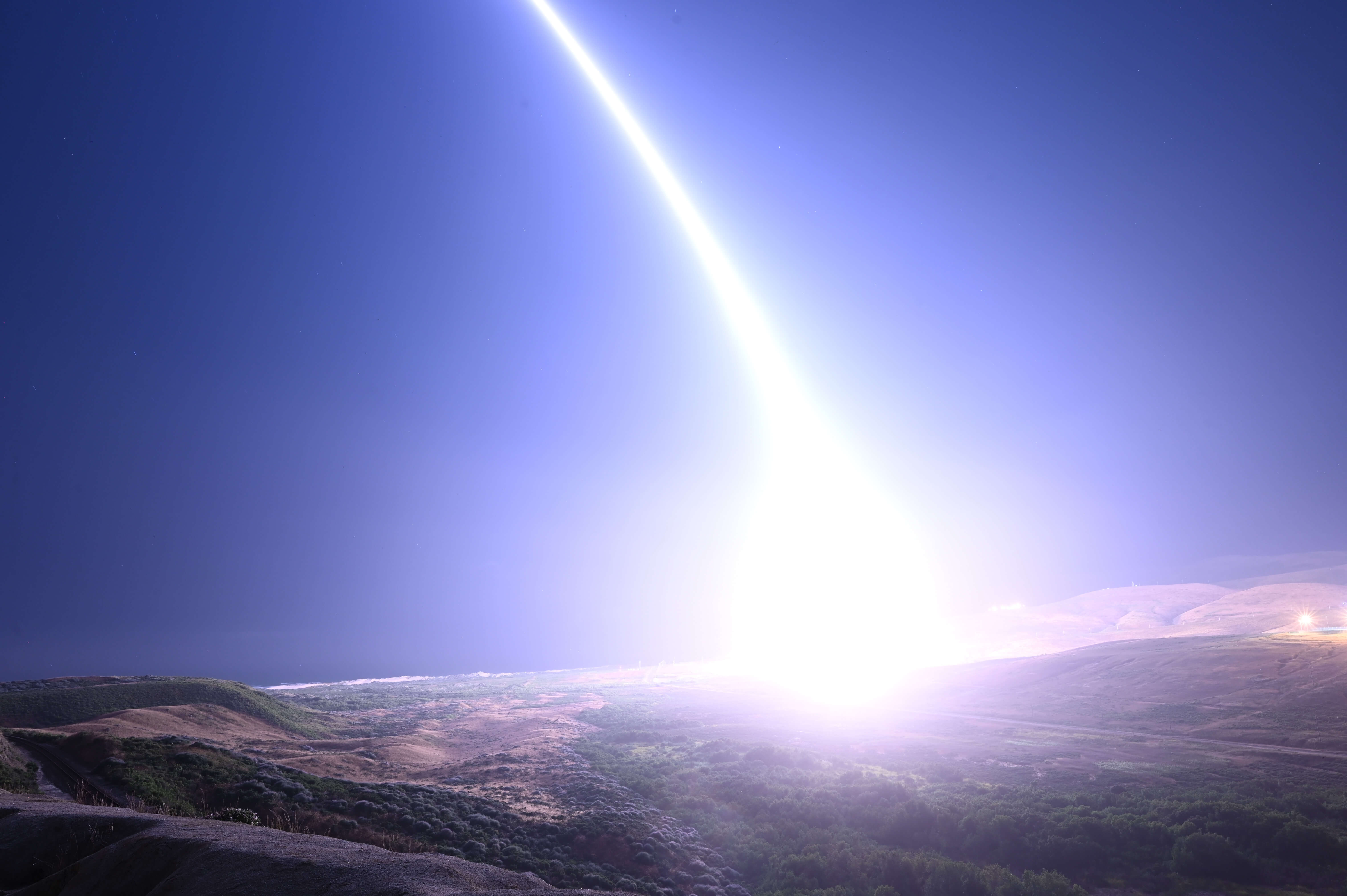
Air Force Global Strike Command Airmen supported by Space Force Guardians launched an unarmed Minuteman III
Read more about Minuteman III test launch showcases readiness of US nuclear force's safe, effective deterrentTargeting Analyst

Supervises and develops intelligence to analyze targets, assess threats and achieve objectives.